PAA
Pā`ā: Dry, rocky
Certificate of Boundary
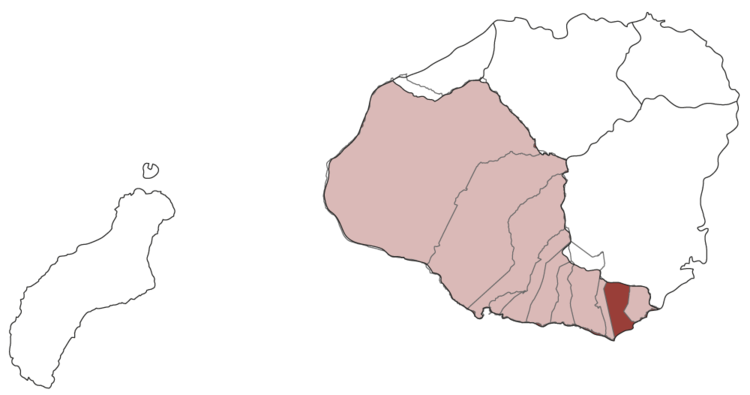
The boundary of this ahupua`a is from SE a rock on SE corner of KA-PUNA-AKEA pond, skirts pond on S, then N to a heap of stones (so far common boundary with Māhā`ulepu), then N along southerly side of range of hills called KOHONI to a certain conical peak of said range, thence to a bald rock called KOLOAKOPAHU, up to KAMAULELE, west to KOKII (NW corner), down to ULUPEUEHU, across PALENA to a heap of stones on PUUHUNIHUNI, then to a monument of stones standing upon the sea near KANEAUKAI. The ahupua`a is comprised of 3,263 acres, 1 rood, and 33 perches. On the lower side, a stone wall marks the boundary between Pā`ā and Weliweli.
*After a defeat in war, some warriors hid in a cave here. They were fed by a giant crab who caught squid for them to eat. The chief of Pā’ā soon noticed the scarcity of squid and asked his kahuna to find out why, which the kahuna does. The warriors are killed and the crab was no longer seen. [Polihale & Other Kaua’i Legends]
